
Where in the world are we? Each interactive map below shows where we started a trip and it follows the path to where we ended up – or in the case of the most recent map, it shows where we started and then where we are today aboard Muddy Waters. Just click the Play button and follow our travels.

- This map shows the various routes on America’s great loop. We also traveled through the Florida keys and the Bahamas, as far south as Georgetown in the Exuma Islands.

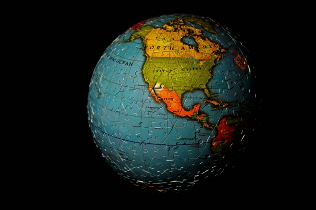
- This map is a track Keenan created showing where we traveled in 2011. Over the course of nearly a year, we traveled approximately 7,000 statute miles.


We had to have been in some of the same places at the same time. Lovedd your map, but would like tp see dates with the stops. We are now in Solomon’s Island, Baltimore next week, then on to Manhasset Bay and hopefully Maine, Penobscot Bay, Stonington area by end of July. Watch for us. We will go to the SSCA Gam at Ilseboro on the 4th, hope this is on your sched. If not go to SSCA.org and get the details and join us there even if you aren’t a member. If you like it, you can always join.
Lovely to hear from you and Dave and thanks for checking out our website. I’ll see if I can figure out how to display the dates for each stop. Perhaps we’ll cross paths in Maine. We enjoyed spending time with you all in the Exumas in 2011.
Just found your blog from a link of Chris and Alyse Caldwell. We started our Great Loop Adventure and a blog. I like your map, but don’t know how to get started or embed into my blog. Any tips?
Thanks for checking out our website. We’re woefully behind on the map…as Muddy Waters is already back in Miami Beach. You can embed a “Tripline” interactive map into your website by going to http://www.tripline.net and creating an account. Create a map for your trip and then click “share” at the bottom right of the player. You can then paste that into your website as long as your blogging/website service supports embedded code. Best of luck and enjoy your grand adventure. The Samways